map
Showing all 10 resultsSorted by latest
-
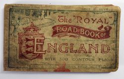
Harry R.G. Inglis: The ‘Royal’ Road Book of England. A Guide to the Main Routes throughout the Country, With 300 Contour Maps. Abridged from the ‘Contour’ Road Book. (1901)
£13.00 Add to cart -

War Office: Belgium: Ostend 1 (1911)
£10.50 Add to cart -
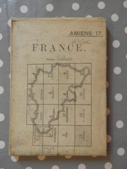
War Office: France: Amiens 17 (1916)
£10.50 Add to cart -

War Office: Belgium & France: Sheet 28, Edition 3 (redrawn) (1916)
£10.50 Add to cart -

War Office: France: St. Quentin 18 (1916)
£10.50 Add to cart -
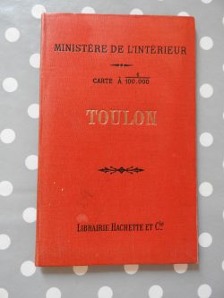
Ministére de l’Intérieur: Toulon (1907)
£10.50 Add to cart -

Ordnance Survey Tourist Map: Land’s End (1933)
£7.00 Add to cart -
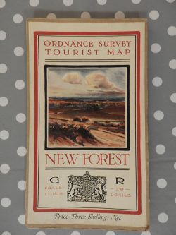
Ordnance Survey Tourist Map: New Forest (1933)
£14.00 Add to cart -

Ramblers’ Guide to Lynton and Lynmouth District (1925)
£8.40 Add to cart -
New 1 Inch Survey of England and Wales: Bangor (sheet 106) (1899)
£10.50 Add to cart